English
Hike and Workcation in East Tokushima
Naruto #2

The mountains and the sea are very close to each other in the eastern area of Tokushima prefecture so that visitors can enjoy both ocean and mountain activities.
Naruto is frequently associated with the world largest whirlpools, but there are also many trails and mountains local hikers love in the city.
Introducing two trails in Naruto that you can easily hike during your workcation by the sea. Enjoy mountain hiking with amazing views of the endless blue sea.
Hike the first part of the Shikoku Nature Trails from Naruto Park
Currently, a total ten regions in Japan have publicly-designated long-distance nature trails under the plan of the Environment Agency, called Chōkyori Shizen Hodō in Japanese. The one in Shikoku, officially nicknamed "Shikoku no michi," is 1,545.6 km long, and both trailheads are located in Tokushima.
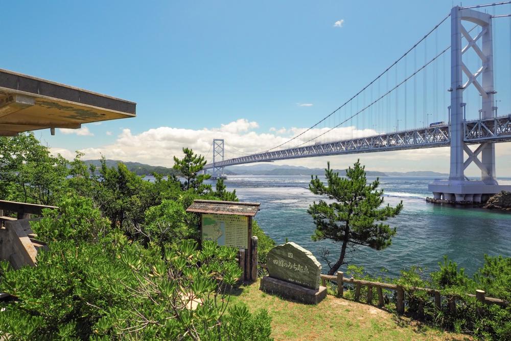
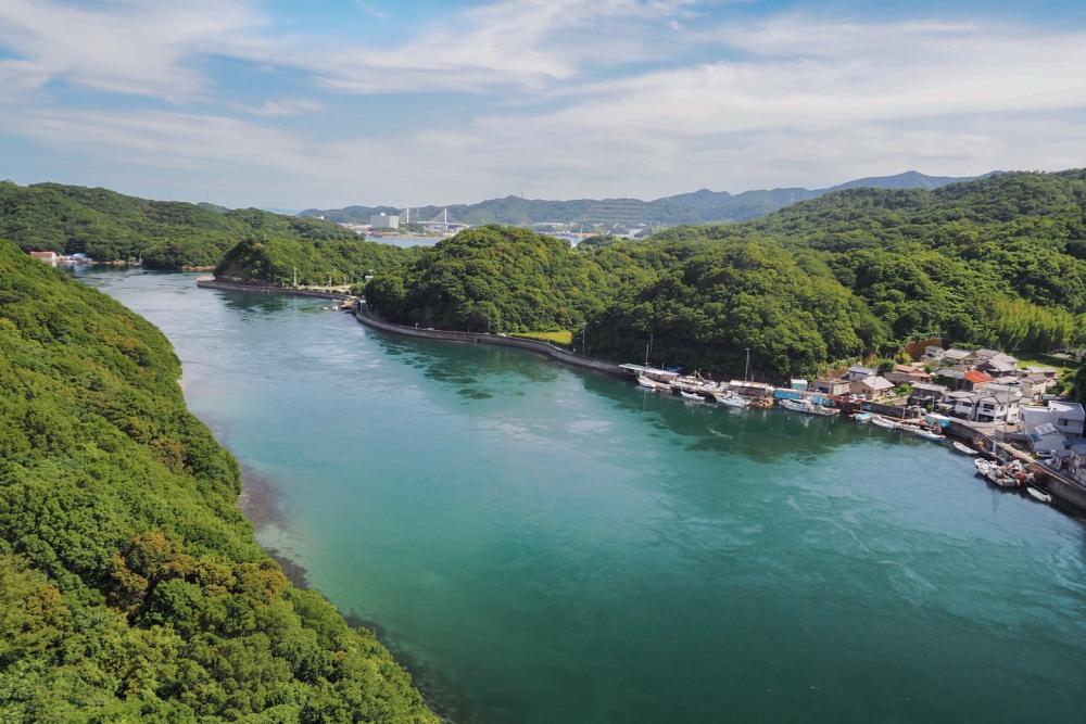
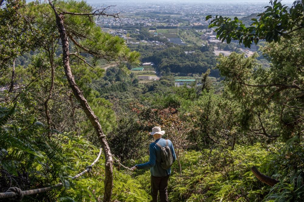
Route #1 of Shikoku-no-michi starts from the trailhead at Magosaki observation deck, goes through the Naruto Park and the mountains around Uchinoumi inland sea and along the coast in between.
The mountains are relatively low so even beginner hikers can easily walk this route.
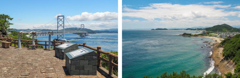
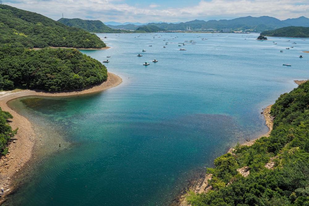
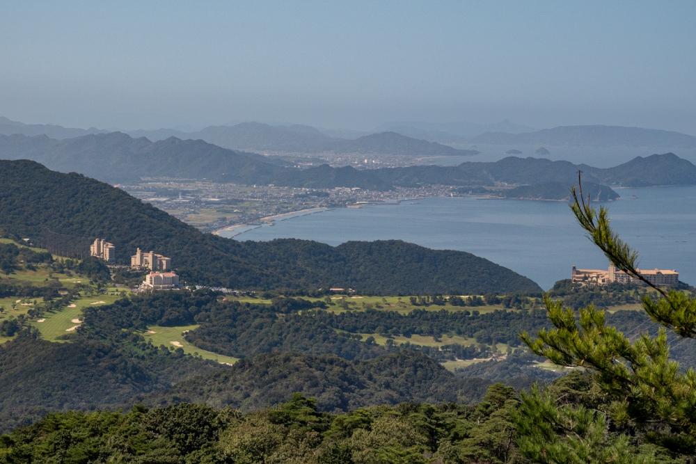
Crossing the Horikoshi Bridge provides stunning panoramic views of the Uchinoumi, that is the Shimada-shima, the second largest island in Tokushima.
Though most visitors would not realize it, the area where Naruto Park and Aoawo Naruto Resort are located is actually an island, called Ōgejima, the largest island in Tokushima.
Adjacent to Ōgejima, is Takashima, a smaller island where Uchinoumi Park is located.
These islands are so close to each other and connected with large bridges that visitors easily believe they are all part of the Shikoku mainland. But looking closely on a map, they are undoubtedly three islands surrounding the Uchihnoumi Inland Sea.
Route #1 of the Shikoku-no-michi takes you around the islands by foot.
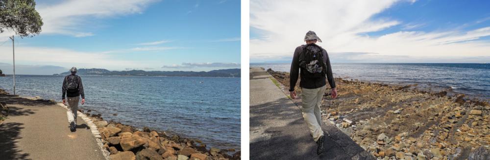
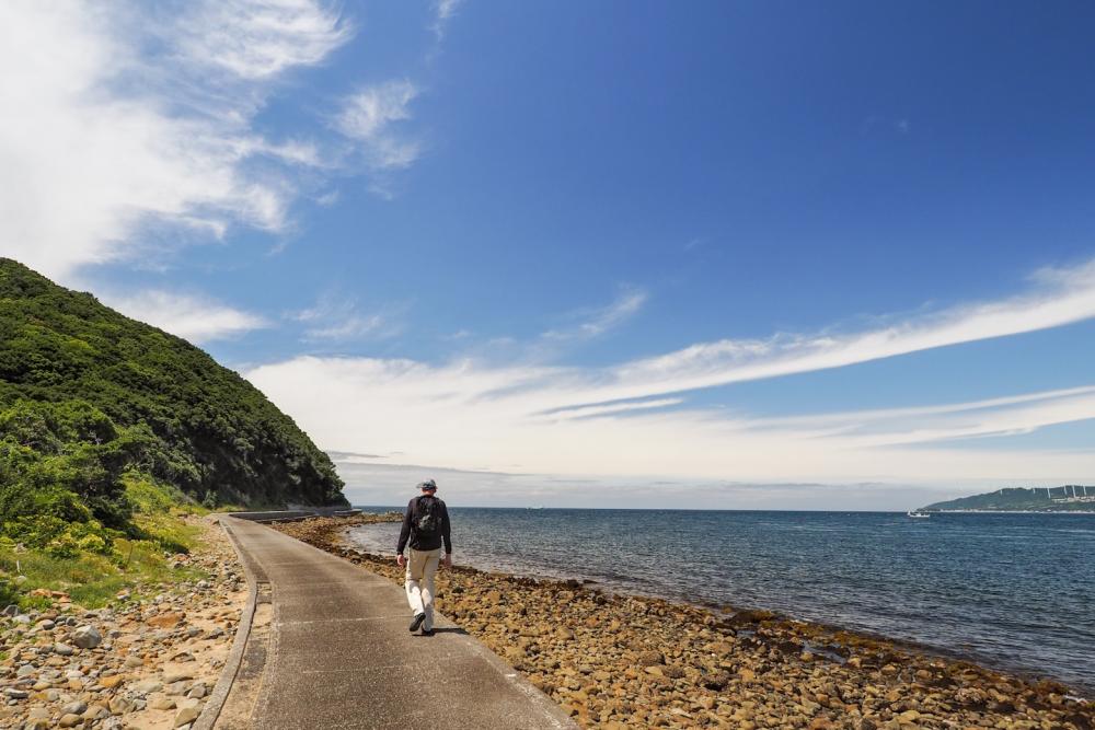
The seafront pathway clinging to the north side of Shimada-shima can easily get wet when the waves are higher. When the weather is bad, it should be better to avoid this part.
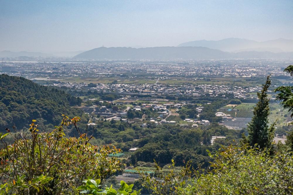
Meanwhile, on a clear day, it is a beautiful path to walk along in the refreshing sea breeze while enjoying the view of the windmills of Awaji Island up close, and the shadows of Shodoshima and other islands in the Seto Inland Sea from a distance.
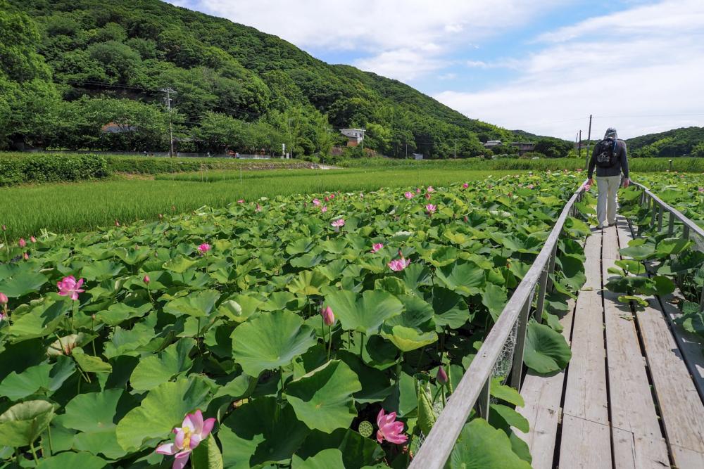
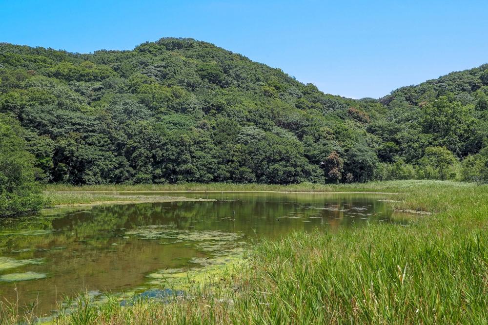
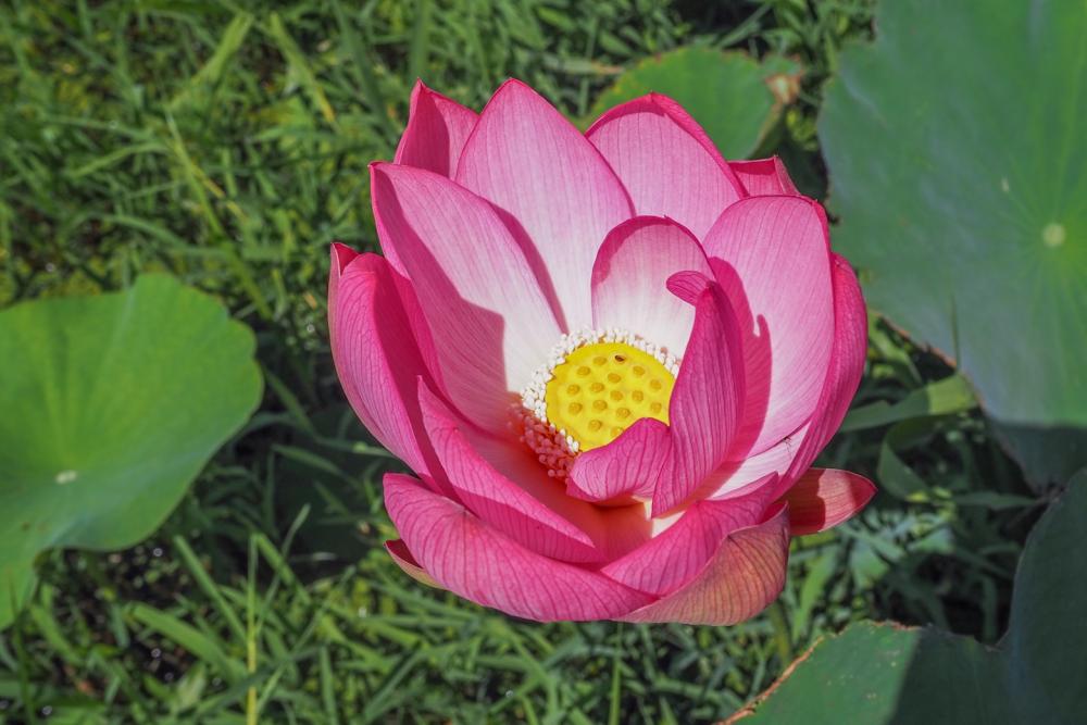
The trail then turns inland. In the corner of an idyllic rural farm surrounded by rice paddies, you will see signs inviting you to see the "Ancient Lotus”.
In the early 1950s, archaeologists found old lotus seeds in the soil at an ancient village site from the Yayoi period (300 BC to 300 AD) in Chiba prefecture. One of the seeds miraculously sprouted and bloomed, and is now called the Oga Lotus or Ancient Lotus.
There are a total of 1.8 hectares of muddy ponds in rice paddies where several beautiful vivid pink flowers bloom every year.
The best season to see the ancient lotus flowers in Shimada-shima is early summer.
Tourism Information about the Shimada-shima island
https://kodaihasu.org/
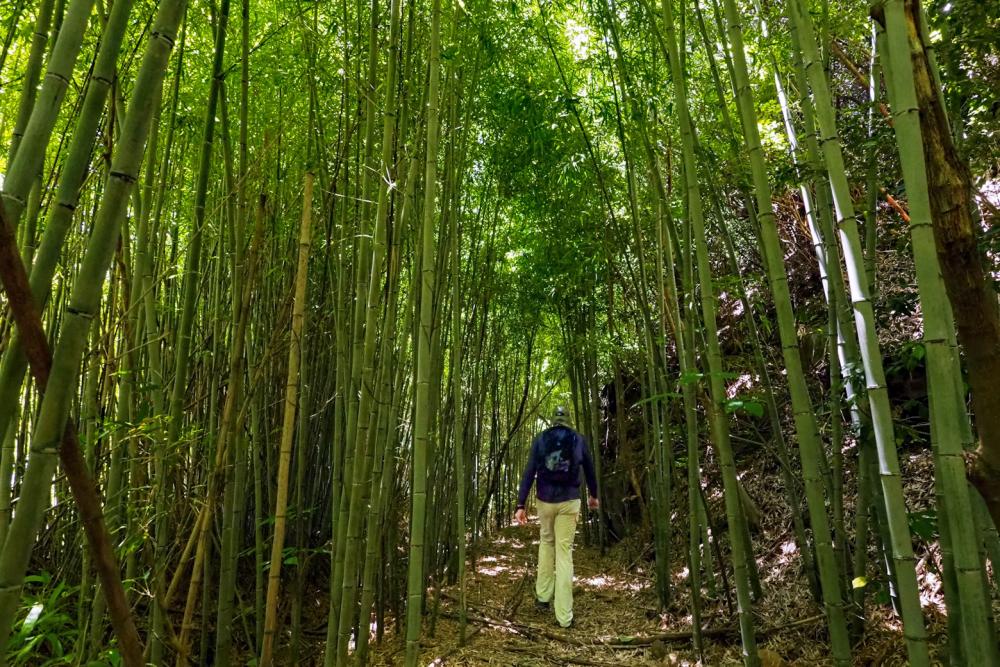
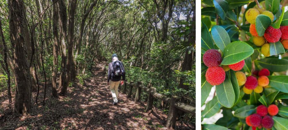
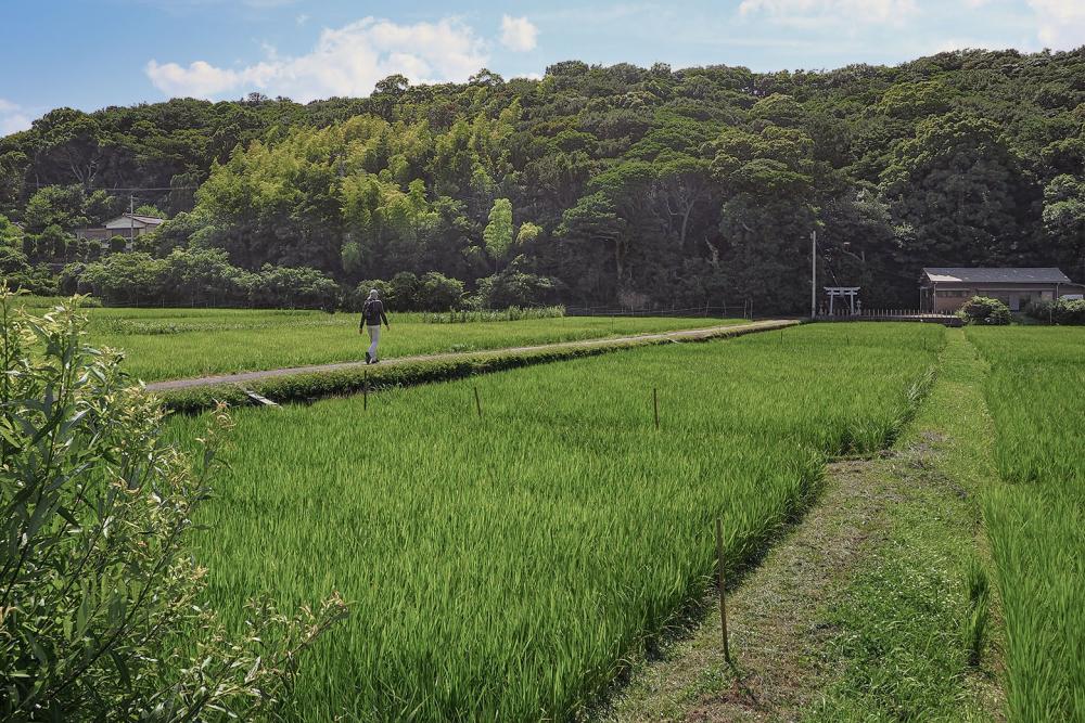
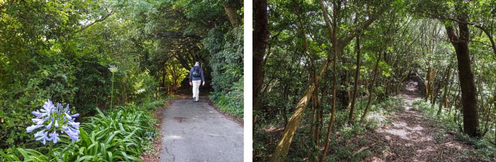
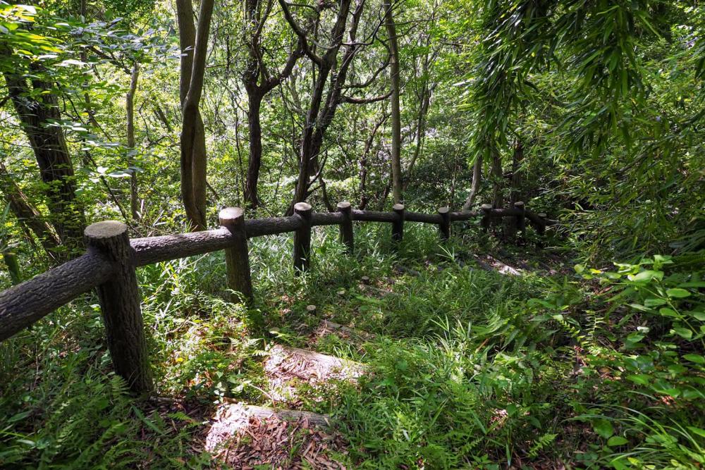
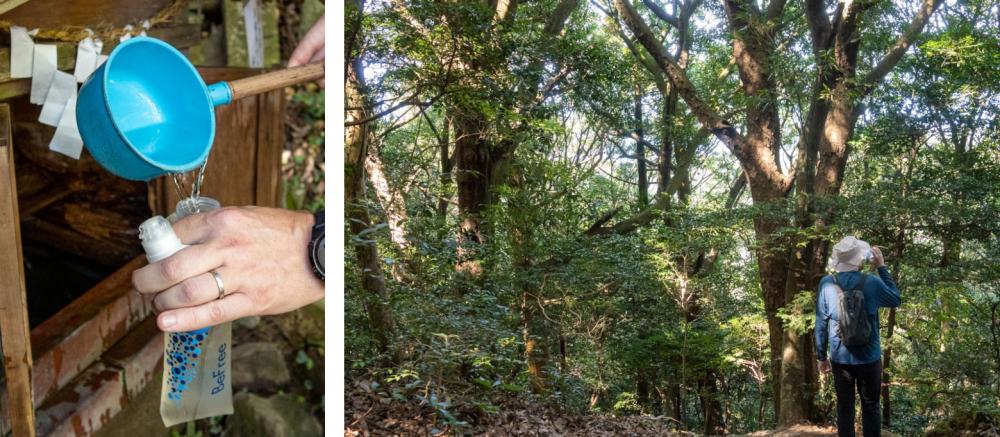
Having passed the ancient lotus ponds, the trail enters the mountains along the west side of the island and passes through a continuous green tunnel along the ridges.
At the end of the Shimada-shima area, the route crosses the Konaruto Shinbashi bridge and continues on the Shikoku mainland side of Naruto.
To get back to Naruto station area, take a bus from Kojinoura bus stop in the small fishery village just below the Konaruto shinbashi Bridge.
The sacred mountain Ooasa-yama and the shining sky-blue mysterious pond
The Shikoku Nature Trail includes the area around Ooasahiko Jinja shrine and the mountain trail to its “Okumiya” (inner sanctuary) on the top of Mt. Ooasayama.
Ooasahiko shrine has the title of Awa Ichinomiya. “Awa” is the name of the old province where Tokushima is today, and “Ichinomiya” is a Japanese Shinto term referring to the highest-ranked shrine in the territory of each old province in Japan before modernization.
Mt. Ooasayama is also the highest peak in Naruto.
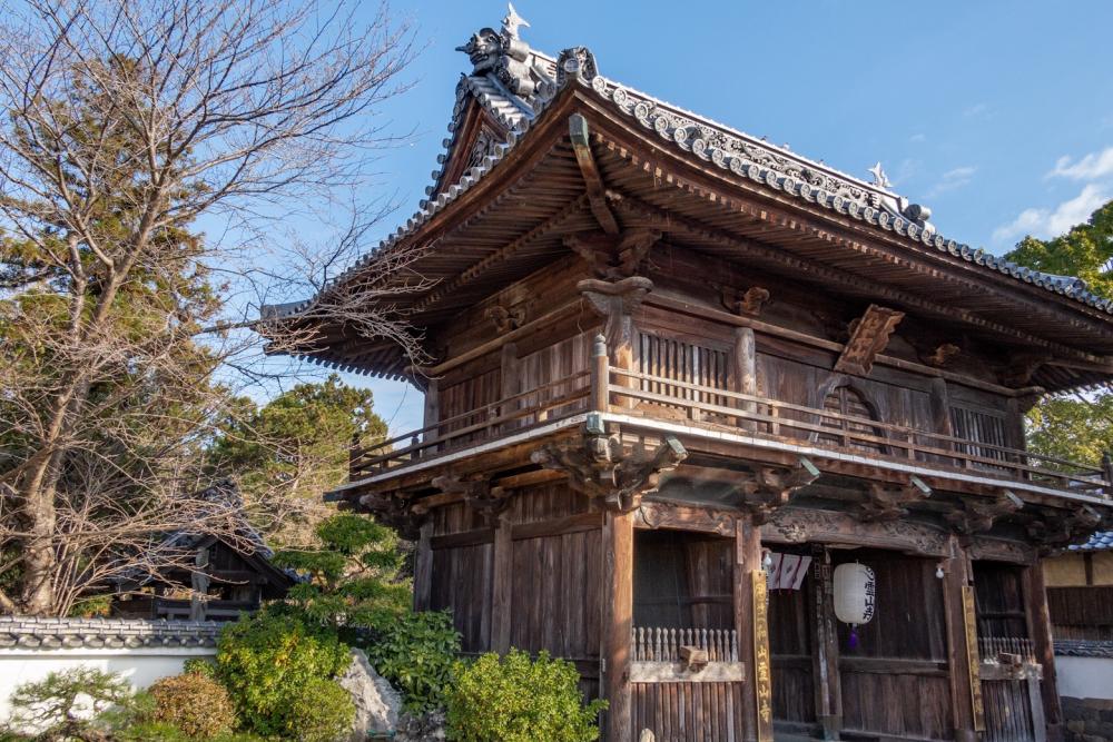
The closest train station to the shrine is Bando on the JR Kōtoku line. Ryozenji, the first temple of the famous Shikoku 88 temple pilgrimage is along the way between Bando station and the shrine.
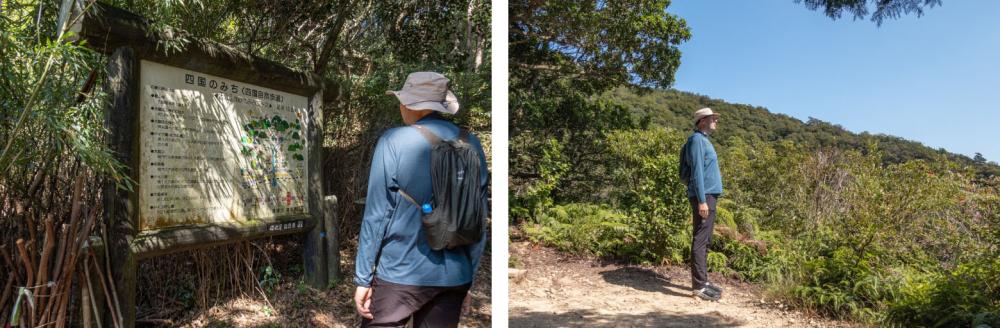
As it is home to many of the major tourist attractions of Tokushima, the area around Ooasahiko shine is easily accessible with public transportations and has souvenir shops and convenience stores for hikers to prepare before walking and to take an after-hike break.
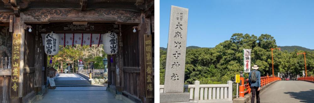
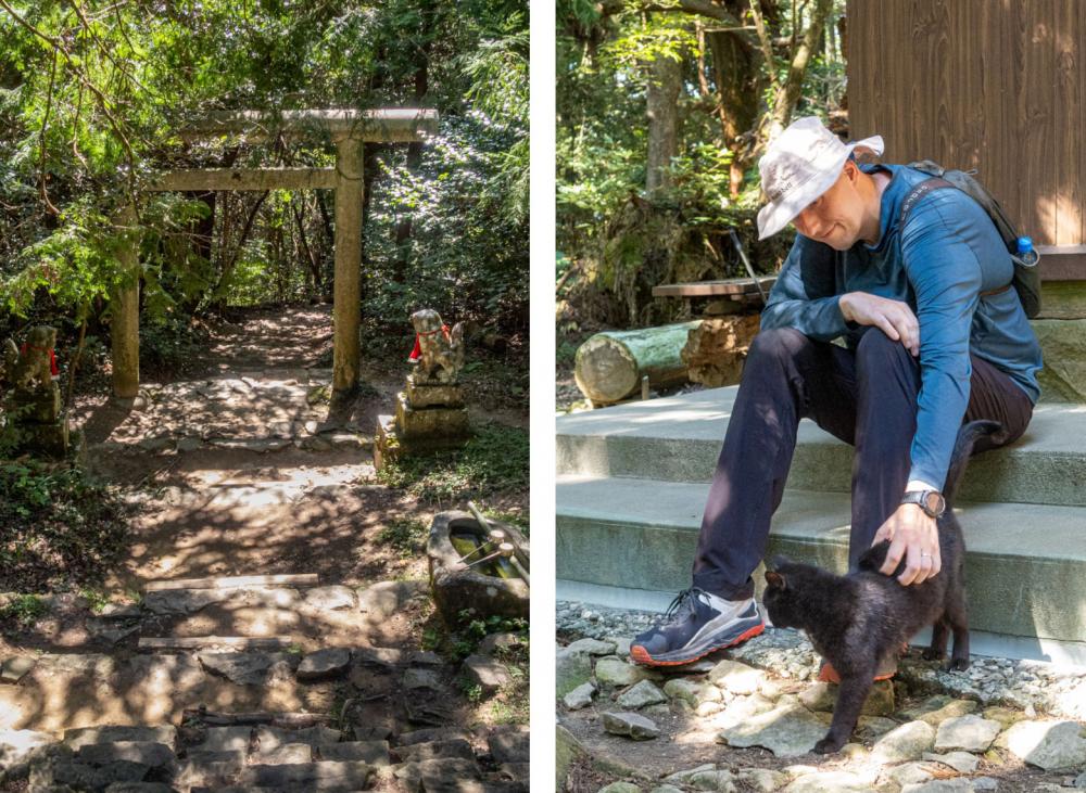
Walking straight along the road stretching north from Reizanji temple, a huge 15-meter-high red torii gate stands with big stone lanterns lining along both sides of the path to the shine.
This approach alone is 800 meters long, making it the perfect warm-up before making the ascent. Soon, a large red bridge and forests behind it come into view.
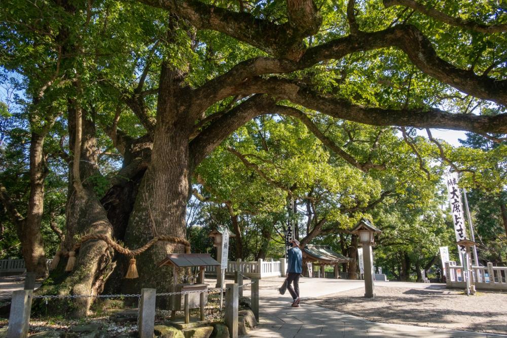
Towering behind the shine forest is the sacred Ooasahiko mountain.
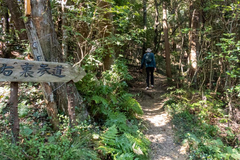
The trailhead can be reached via a road on the east side of the shrine or by going through the forest after visiting the shrine to pray for a safe hike. The path through the forest eventually joins the road on the east side of the shrine.
Note: Ooasahiko shrine is currently undergoing the first major roof renovation after half a century from February 2022. The construction is estimated to be complete around October 2022.
The roof decorations removed from the old roof are displayed for the public in the shrine until August.
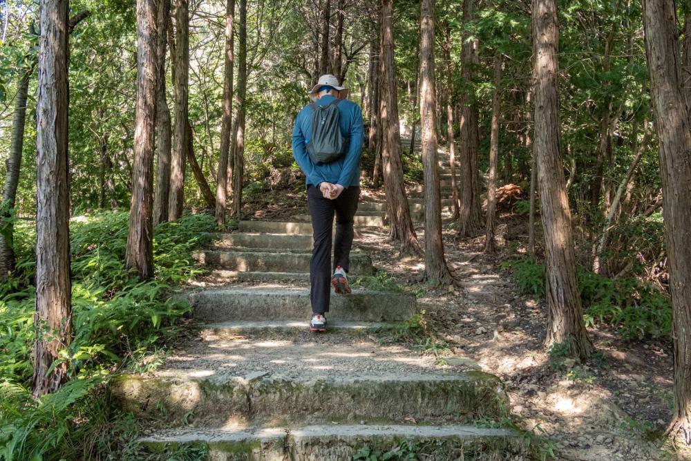
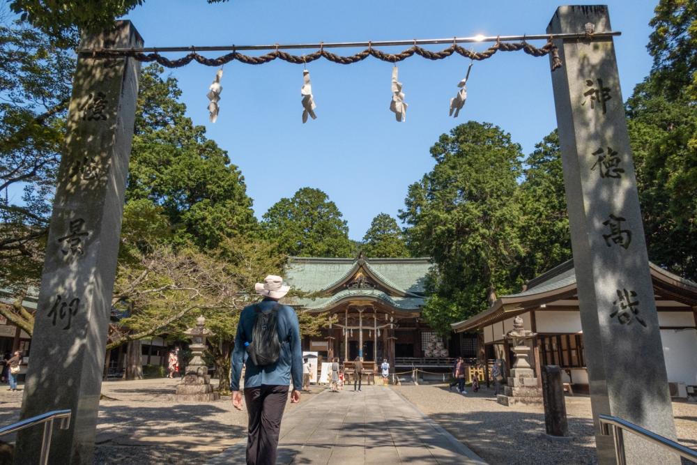
The trailhead is right behind a small stone torii gate at the end of the road, with a Shikoku Nature Trail information board and lots of walking sticks for anyone to use.
The most popular Omotesando route has an endless series of stairs from the bottom to the top. Since Mt. Ooasayama is 538 m high and the Omotesando route is about 2 km long, there are a staggering 2,348 steps in total. This is like an ascetic training that has to be overcome to visit the inner sanctuary so it is not an easy task, just keep on lifting your feet one by one.
The good news is that each step is not too high or steep and the trail is under the shade of trees most of the time.
There are some rest places and scenic spots along the way as well, so you can take advantage of them and walk at a leisurely speed.
The locals love this mountain and some walk it for their daily exercise.
During the weekend, many hikers from other areas join the local hikers and even on weekdays, you would not be the only hiker. The trails around the mountain are well-marked too.
Even complete beginners can enjoy hiking here without worries.
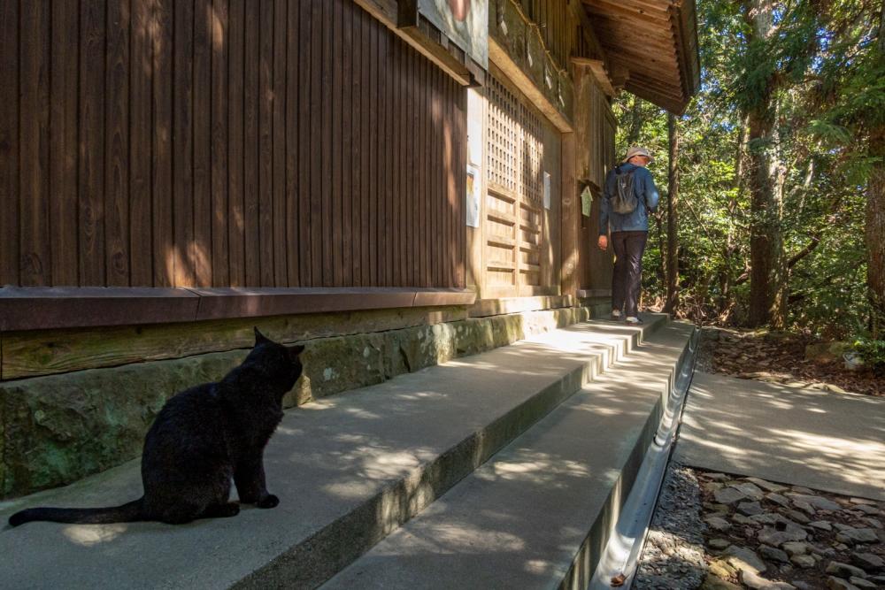
At the Okumiya around the top of the mountain, hikers and worshippers often take a rest, or have lunch under the shade of the trees. You may see two very friendly cats sunbathing in front of the small shrine. They come up here from the mountain foot every day.
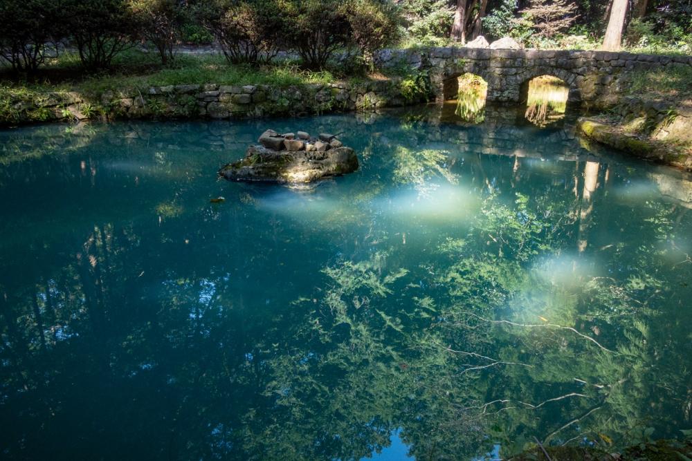
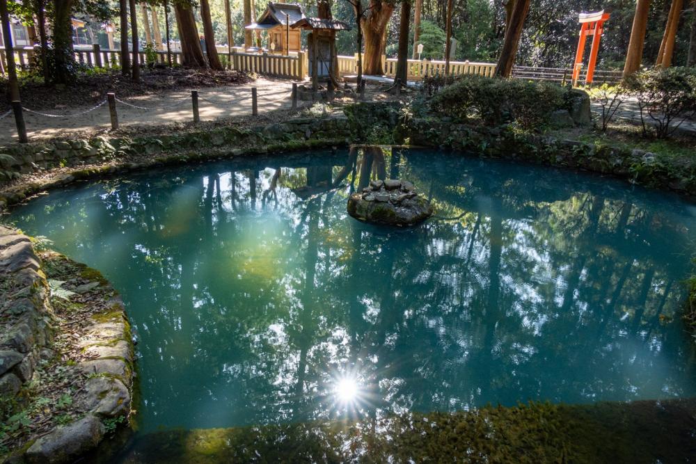
After having descended from the mountain, let’s go back to the Ooasahiko shrine once again, this time through a path in the woods behind the main shrine. This leads to a so-called “power spot” with a growing reputation for making your wish come true, especially for bringing romance or tying the knot!
The Singan-no-Kagami-ike (the pond of mirror for wishing) is a man-made pond dug during World War I by German soldiers who were interned at the Bando POW camp located a little west of the Ooasahiko shrine and Ryozenji Temple. Over the pond, an arched masonry bridge was built by them as well and is called Megane-bashi (eyeglasses bridge) today.
The pond is currently a much-talked-about power spot, and also a popular Instagram spot due to its beautiful sky-blue water surface.
Under the shade of trees, the sky-blue water turns an even deeper azure, and the spots of sunlight coming through the tree branches are shining golden, making the pond look just like a tortoise.
It is said that if you throw money toward the stone protruding from the water in the center of the pond and successfully land it on the top, your wish may come true...
●Ōasahiko Jinja (shrine)
13 Hirozuka, Bando, Ōasacho, Naruto, Tokushima Tel : 088-689-1212
http://www.ooasahikojinja.jp/
●Ryozenji, the first temple of the Shikoku 88 Pilgrimage
126 Tsukahana, Bando, Ōasacho, Naruto, Tokushima Tel : 088-689-1111
● Download “HIKE! TOKUSHIMA” booklet that includes the best trails in the eastern area of Tokushima
https://www.east-tokushima.jp/brochure/